
Location
Location
Westin Beach Tourist Corridor Baja California Sur
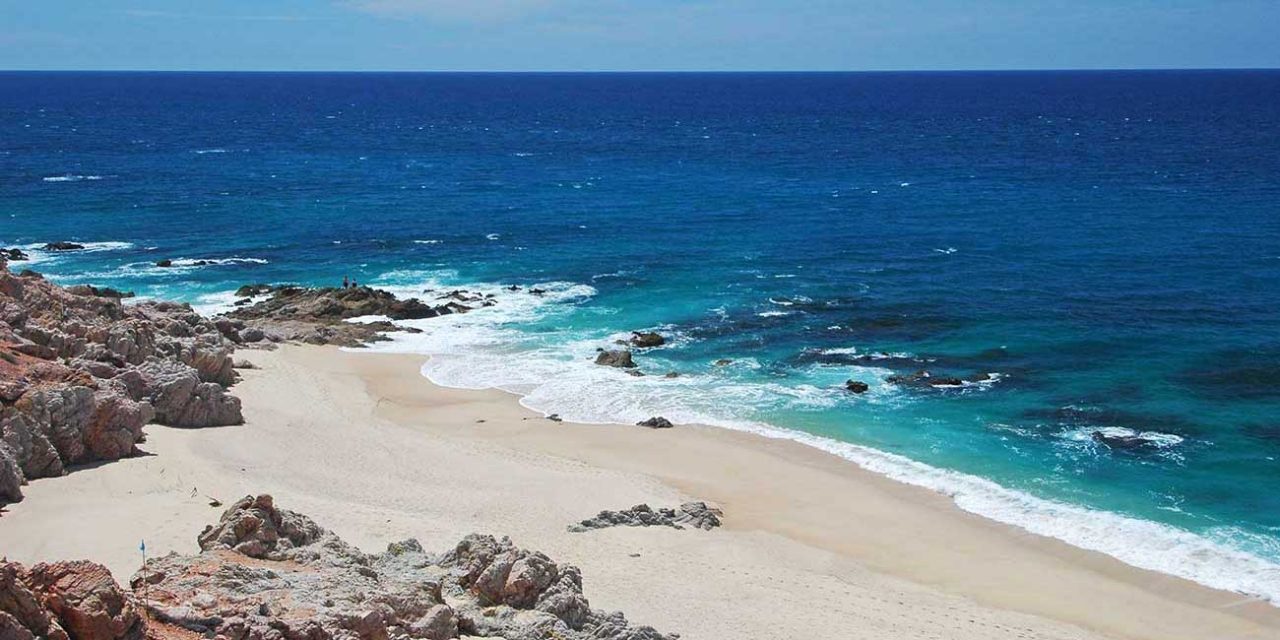
Westin Beach is part of the broader Whats in Cabo beach guide, mapped to its local region so visitors can compare beach style, access, safety, and nearby options before planning a beach day.
Conditions, access, services, and swimming safety can change by season and by day. Use the map, check posted signs or local guidance, and treat Pacific-facing or remote beaches as scenic stops unless conditions are clearly safe.
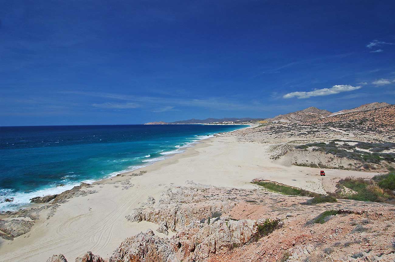
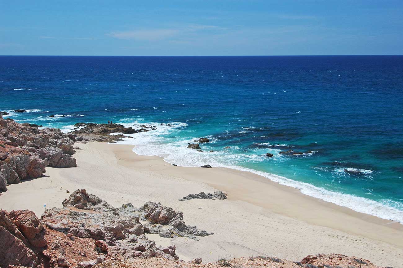
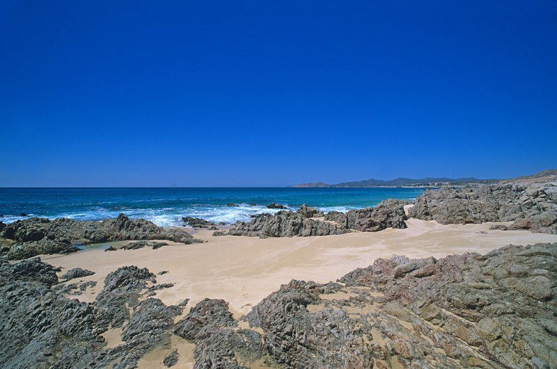
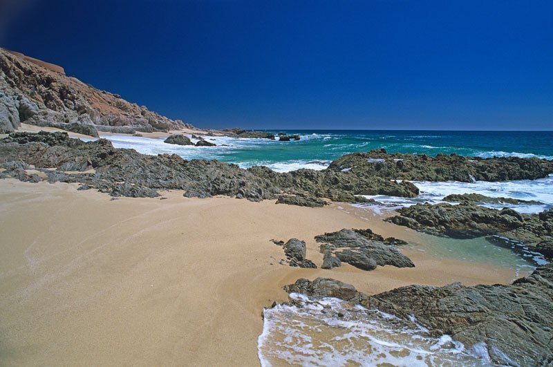

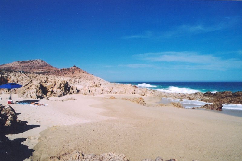
Sometimes swimmable, sometimes not — it depends on the surf that day. Check the flag posted on the sand, and stay out of the water where no flag is posted.
This rating is our editorial classification of the beach itself, not a reading of today’s water. The numbers above are modeled estimates. For today, the authority is the flag flown on the sand by ZOFEMAT Los Cabos: red means stay out, yellow means extreme caution, black means the beach is closed.
Open-Meteo public model data · Checked
Estimated from public data, not an official safety advisory. Always follow posted flags and lifeguard instructions.
The approved editorial profile allows a model verdict; a conditional profile can never display green.
Open-Meteo Marine: modeled wave height, period, and direction.
Open-Meteo Weather: modeled 10 m wind and gusts.
Recent nearby sightings suggest extra caution before entering the water.
No community reports have been submitted for this beach this month.
Nearby public observationsEstimated from public data, not an official safety advisory.
Sources: iNaturalist public observations and Open-Meteo Marine - refreshed 3 hours ago
Westin Beach Tourist Corridor Baja California Sur
Simple beach-day activities that fit the setting and conditions.
Sometimes swimmable, sometimes not — it depends on the surf that day. Check the flag posted on the sand, and stay out of the water where no flag is posted.
This rating is our editorial classification of the beach itself, not a reading of today’s water. The numbers above are modeled estimates. For today, the authority is the flag flown on the sand by ZOFEMAT Los Cabos: red means stay out, yellow means extreme caution, black means the beach is closed.
Open-Meteo public model data · Checked
Estimated from public data, not an official safety advisory. Always follow posted flags and lifeguard instructions.
The approved editorial profile allows a model verdict; a conditional profile can never display green.
Open-Meteo Marine: modeled wave height, period, and direction.
Open-Meteo Weather: modeled 10 m wind and gusts.
Recent nearby sightings suggest extra caution before entering the water.
No community reports have been submitted for this beach this month.
Nearby public observationsEstimated from public data, not an official safety advisory.
Sources: iNaturalist public observations and Open-Meteo Marine - refreshed 3 hours ago
Quick read before you go. Conditions can change by day, so check local flags before entering the water.
Westin Beach Tourist Corridor Baja California Sur

Add a review