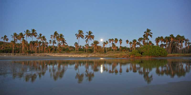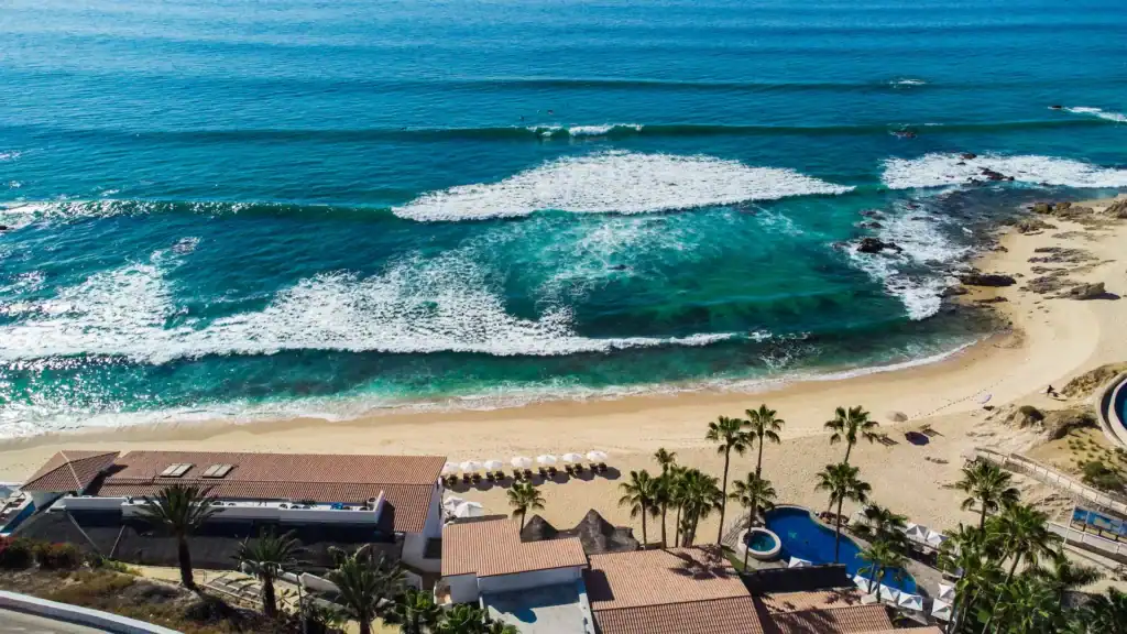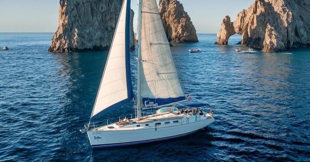
6 beaches
Usually swimmable
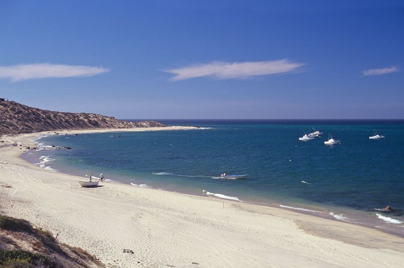
Calm most days, and the easiest water to get into with children.
Los Cabos · Baja California Sur
Fifty-six beaches, from the calm coves of the Tourist Corridor to the open Pacific. Sorted by where you are staying, and honest about which ones you can actually swim.
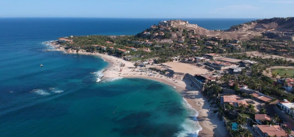
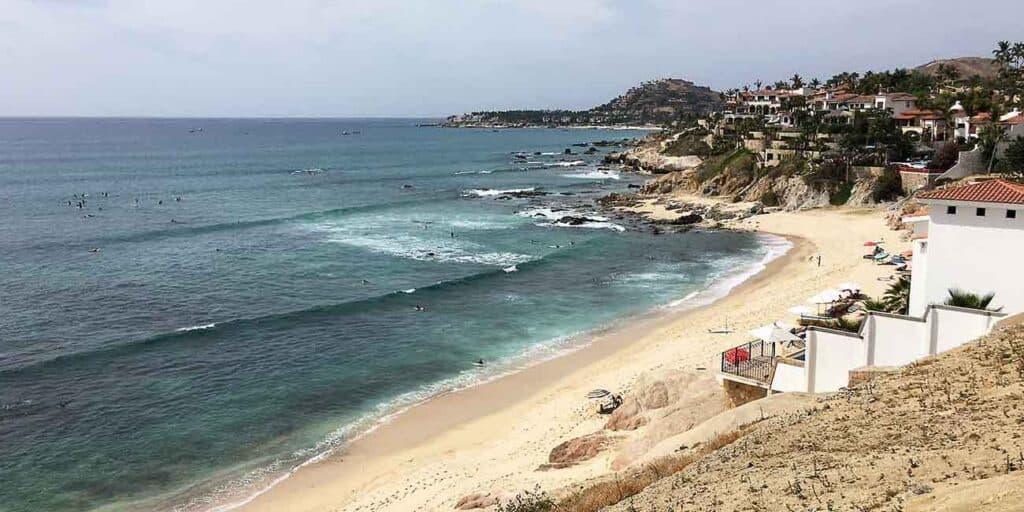
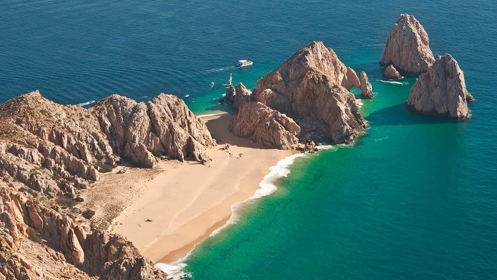
Photo: Marriott Traveler
Beach guide
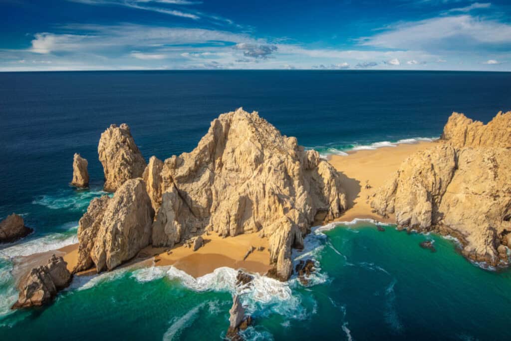
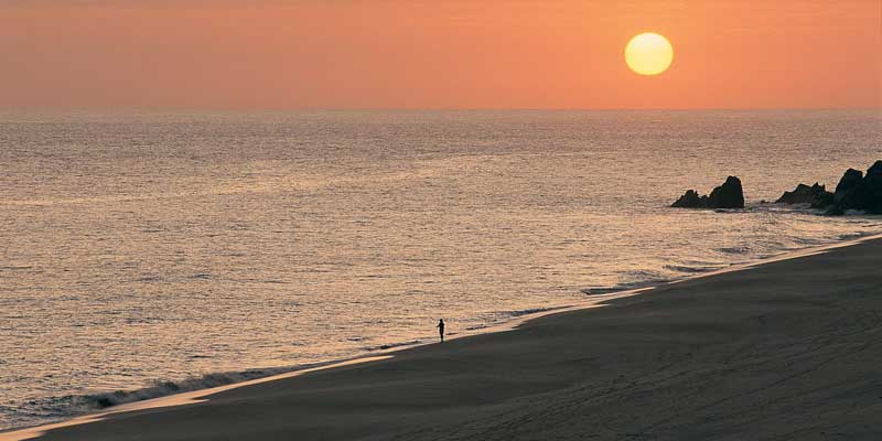
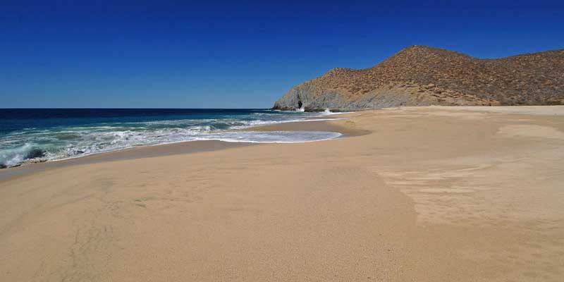
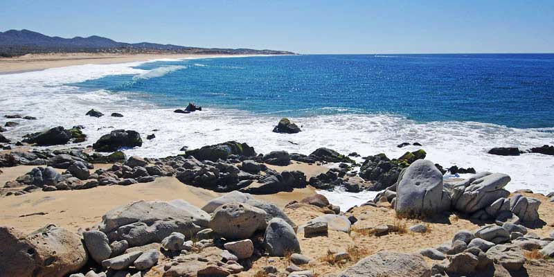
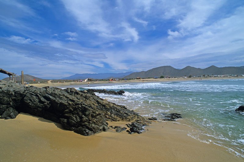
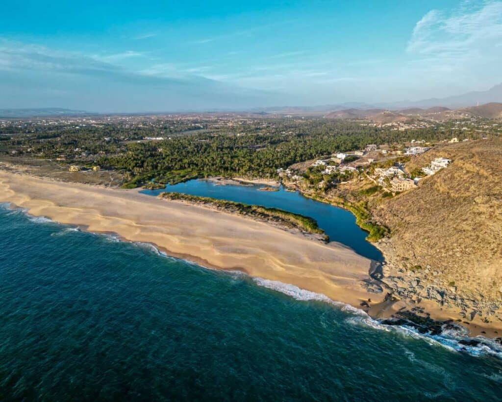
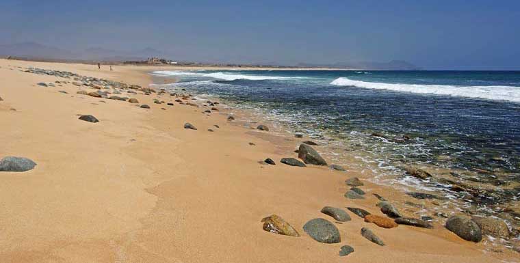
Los Cabos is not one shoreline. The Pacific side is dramatic and mostly unswimmable; the Sea of Cortez side, east of Land’s End, is where the calm water lives. Between Médano and Chileno the character of the water changes completely, and the drive between the far ends of this list runs well over two hours.
So this page is organised by area, not by a score. Start with the stretch closest to where you are staying, then use the water profile on each card to tell a swimming beach from a walking one. Every beach here is public: in Mexico the federal maritime zone belongs to everyone, even where the only way in runs past a resort.
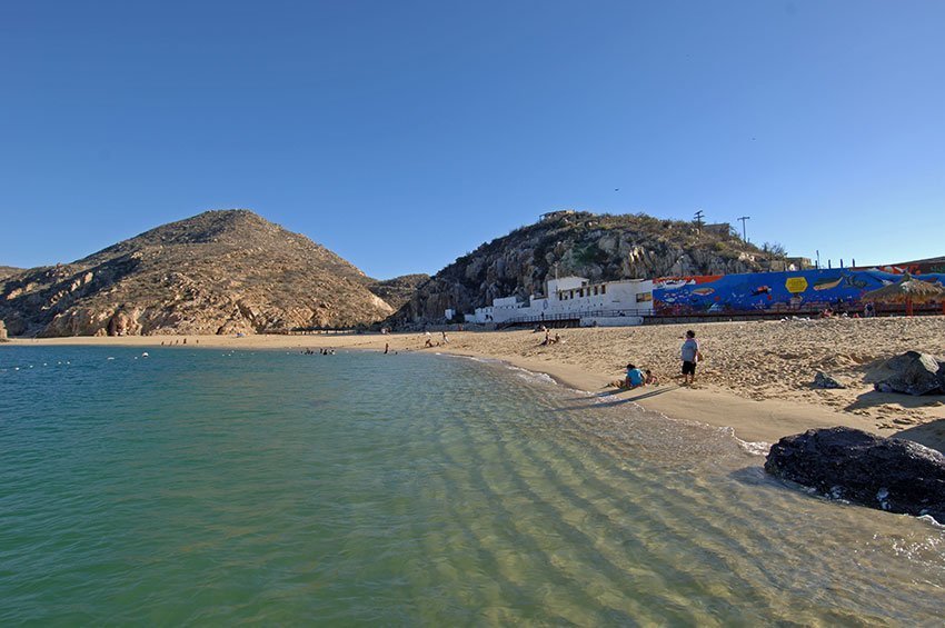
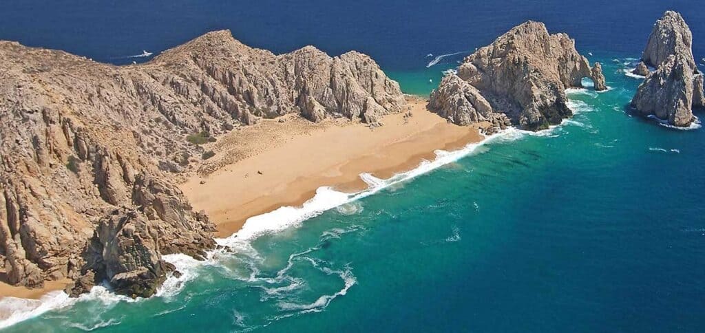
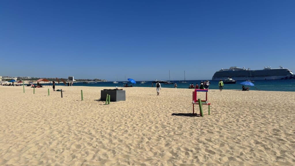
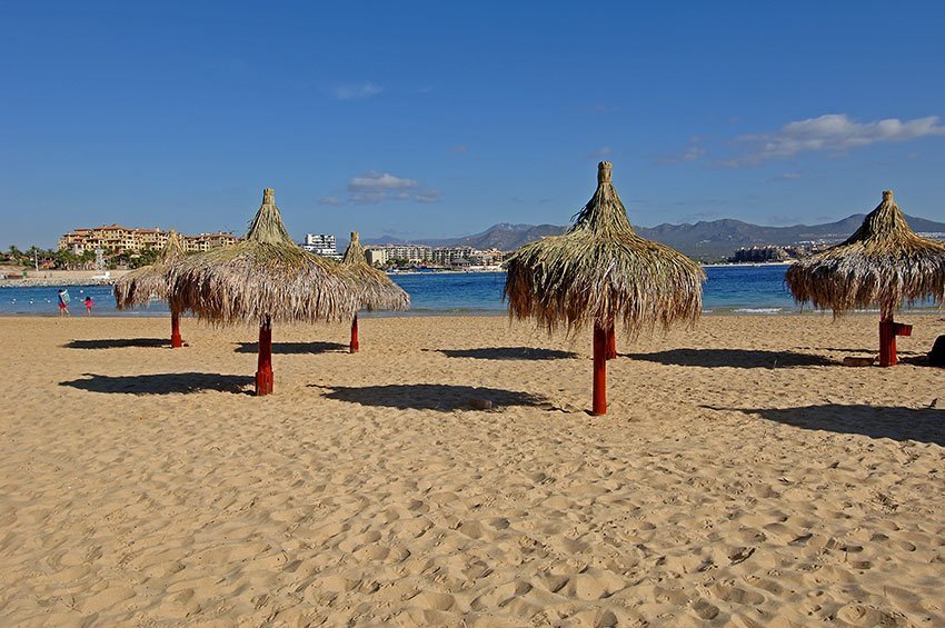
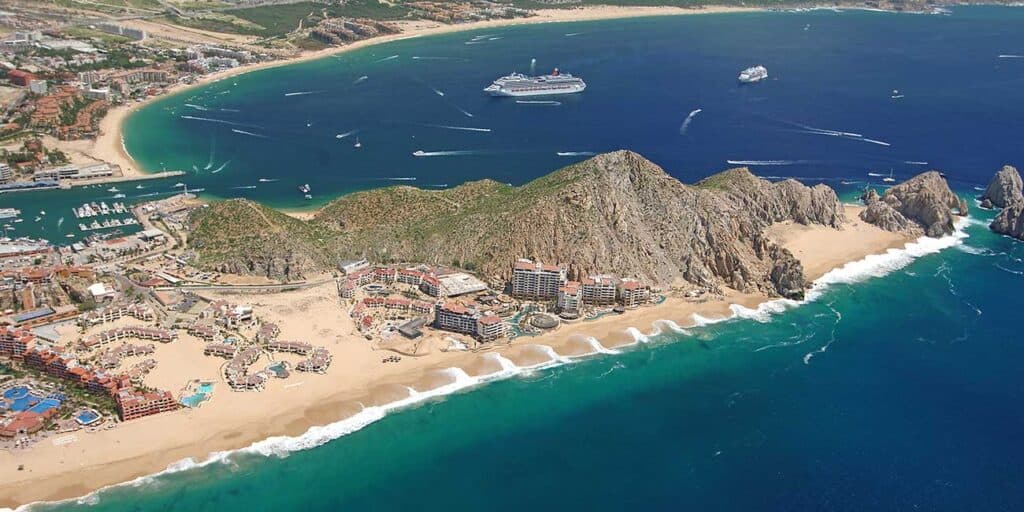
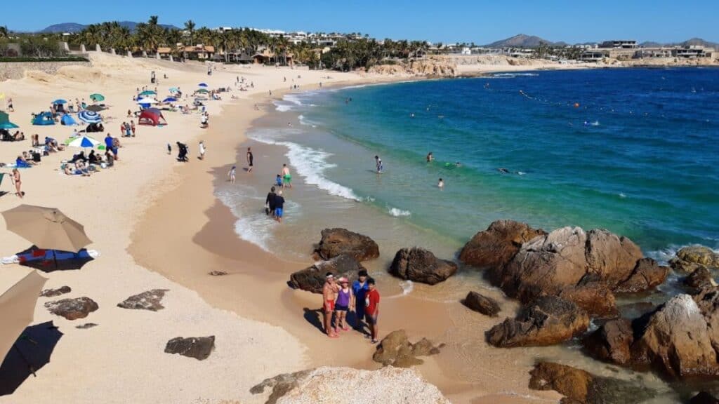
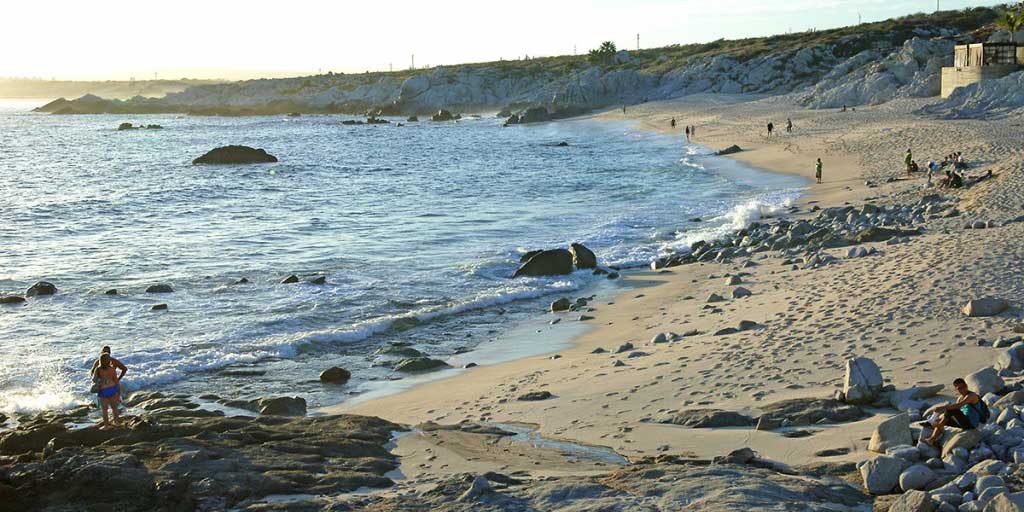
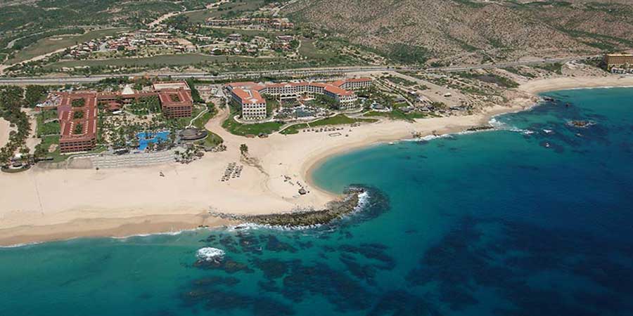
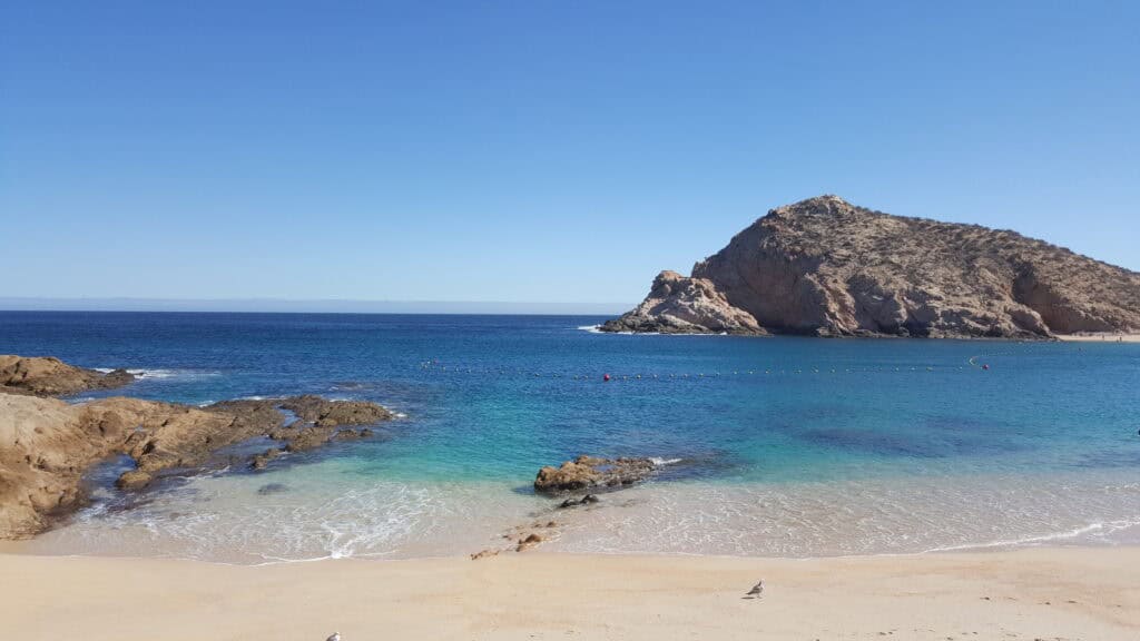
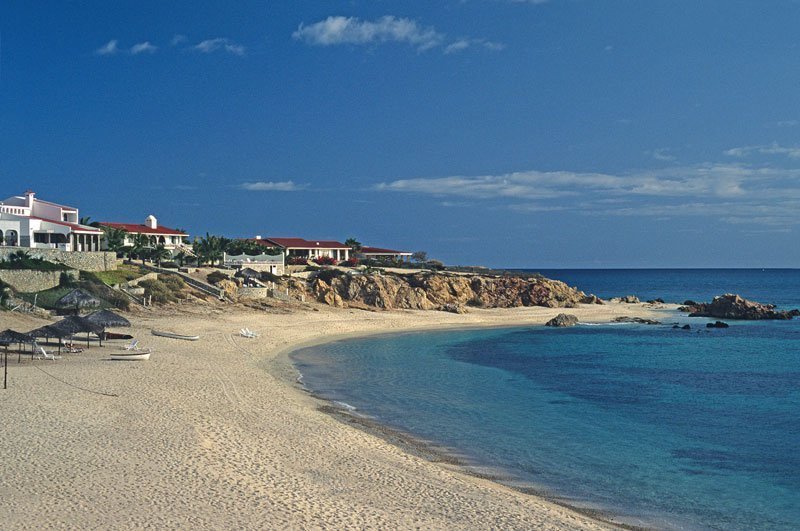
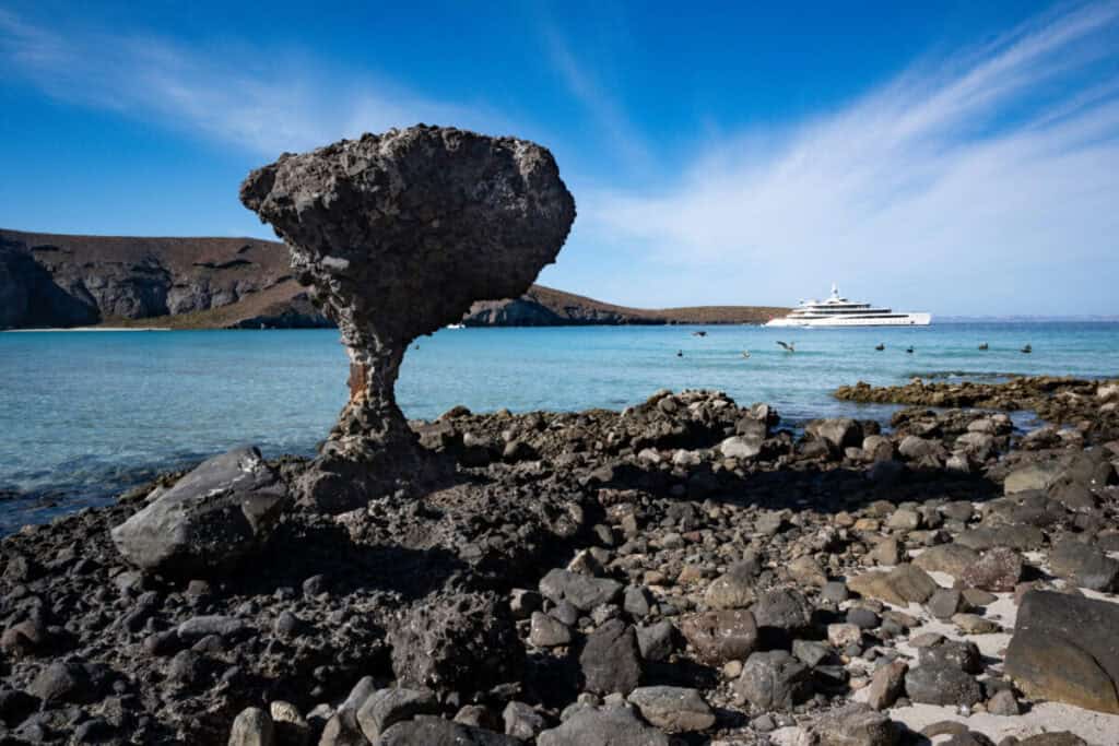
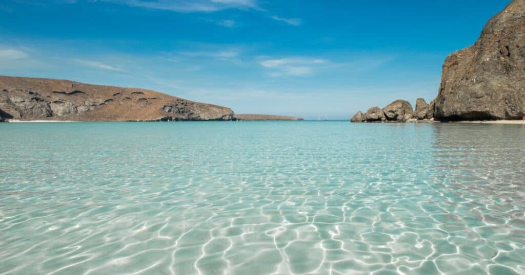
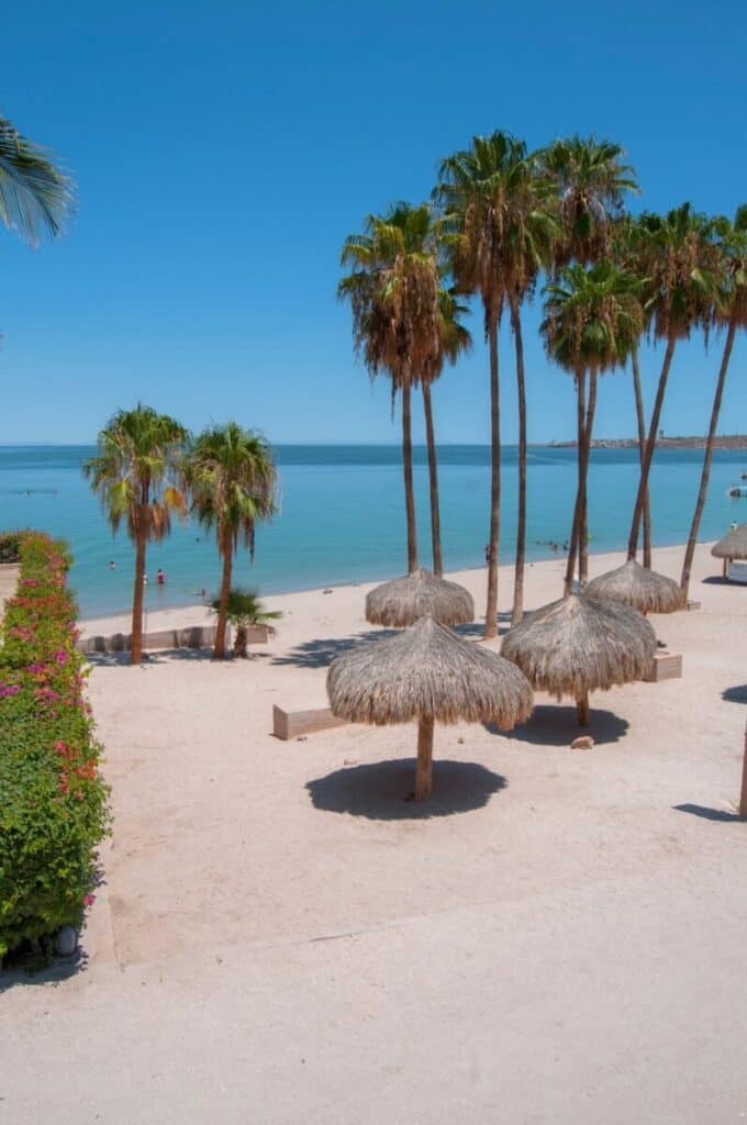
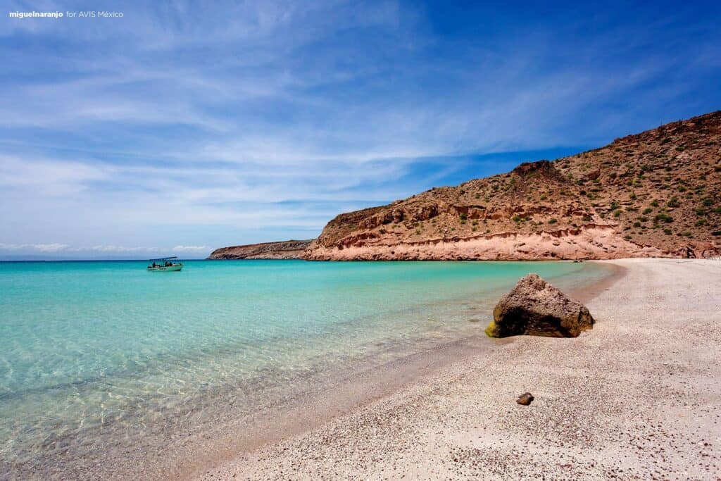
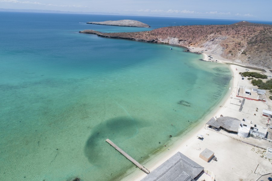
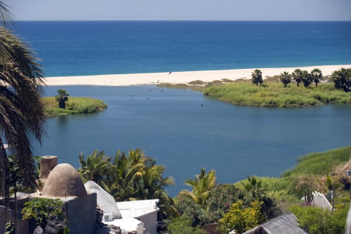
Six of the fifty-six are calm enough to be called usually swimmable, and they are not spread evenly. In Cabo San Lucas the only one is Médano Beach, the long town beach inside the bay; ten of the other thirteen beaches in that municipality are marked not for swimming, including Divorce Beach on the Pacific side of the headland. The Tourist Corridor holds two of the best: Chileno Beach and Santa Maria Beach, the two protected coves that most Los Cabos snorkeling trips visit. In San José del Cabo the calm one is Palmilla Beach. The remaining two are up in La Paz: Balandra Beach, the shallow lagoon with the mushroom rock, and El Coromuel, a short drive from the city centre.
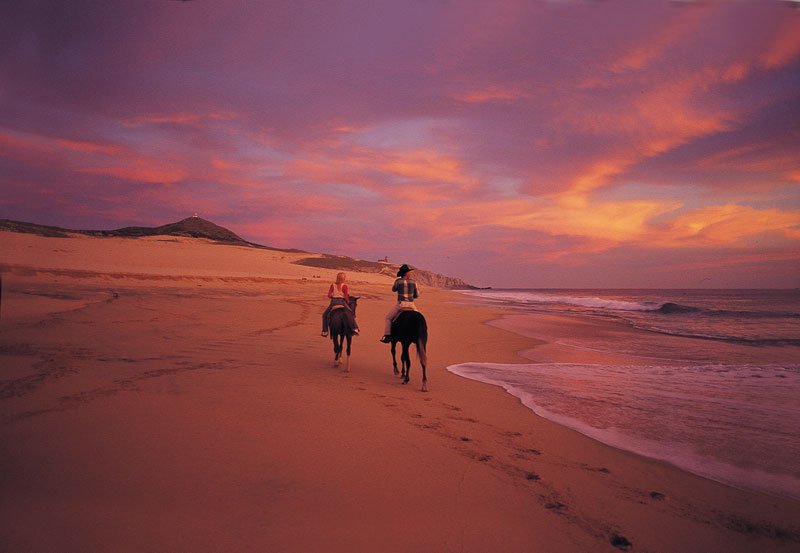
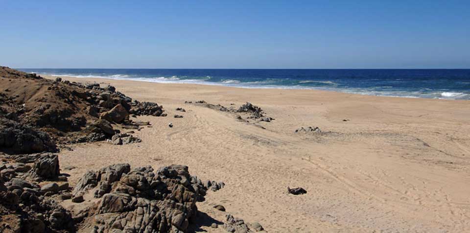
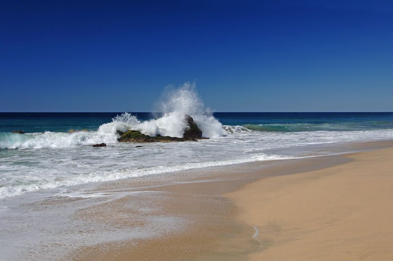
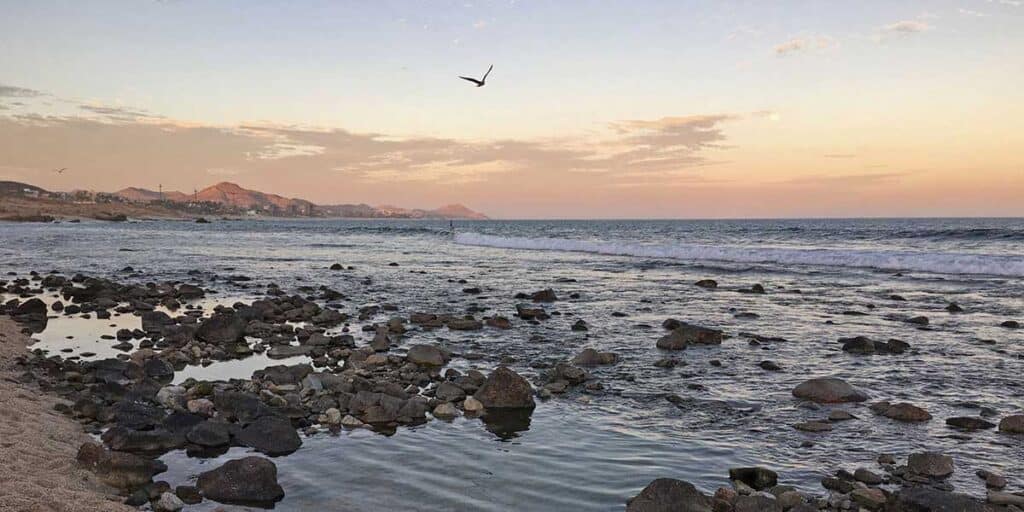
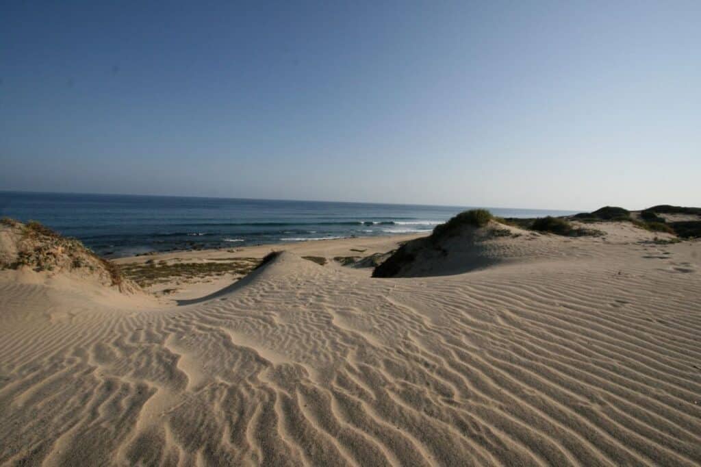
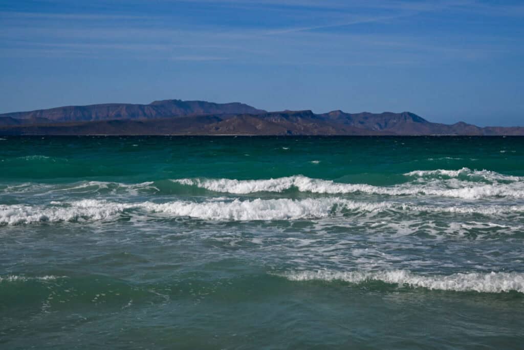
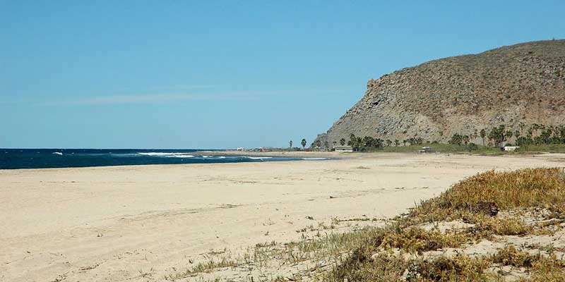
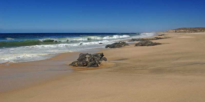
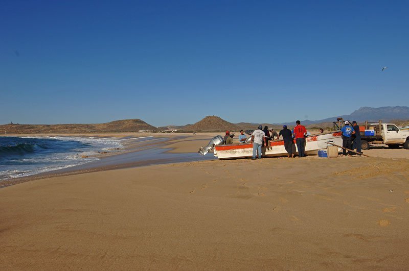
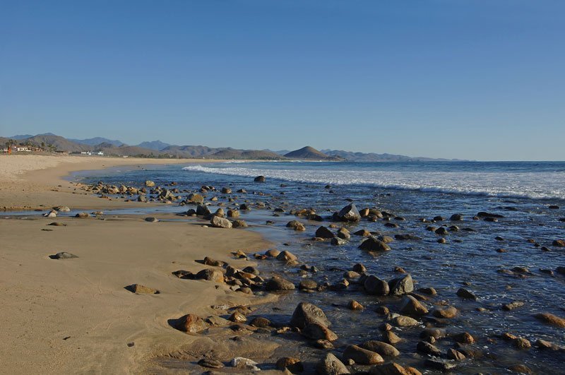
Eight of the nine beaches we list around Todos Santos and El Pescadero are marked not for swimming. That stretch faces open ocean with no headland to break the swell, and the shore drops away quickly, so the water pulls hard even on a still-looking afternoon. It is the surfing coast rather than the swimming coast: Cerritos Beach is the one most visitors have heard of, and Playa Migriño, half an hour north of Cabo San Lucas, is where the horseback and camel rides run along the sand. Walk them, photograph them, surf them with a local instructor — but treat the water with respect.
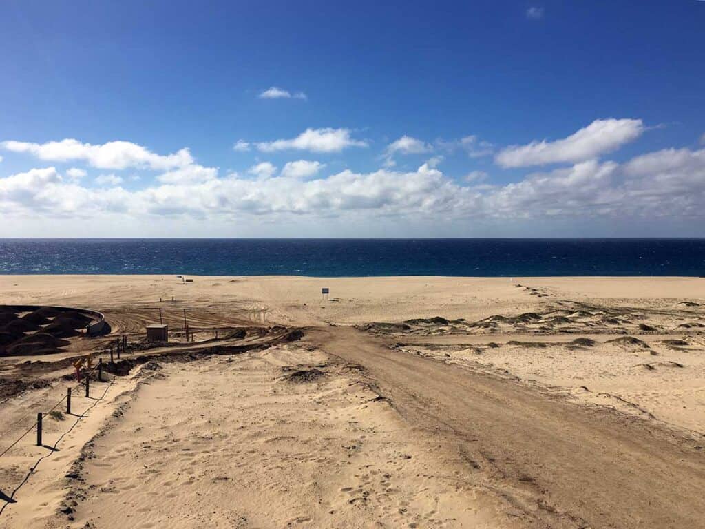
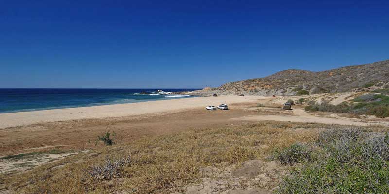
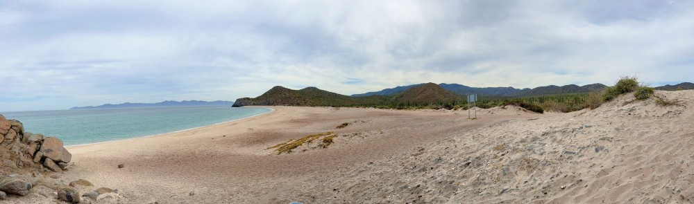
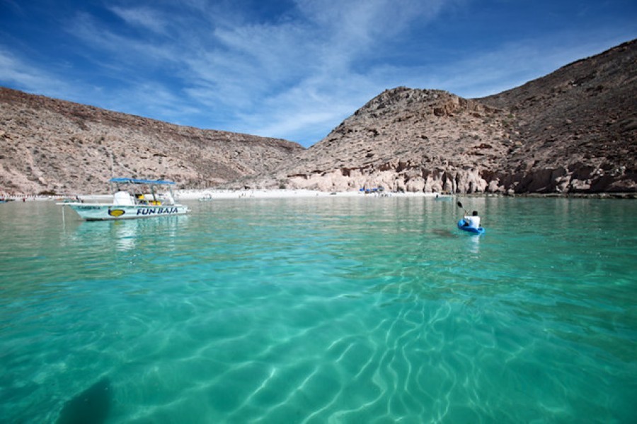
All seven of the East Cape beaches on this page fall into the depends-on-the-day group, from Los Barriles down to Cabo Pulmo, the national marine park. Several of them, along with the beaches around La Paz, sit at the end of a dirt road or a boat ride rather than a signposted turnoff, so they reward a full day rather than a quick stop. If you are choosing between a morning swim and a long drive, the Tourist Corridor coves are the shortcut; the East Cape and Espiritu Santo side of the peninsula is the reward for planning ahead.
Water temperature peaks between August and October and is at its coolest from January to March, which is also whale season and the busiest stretch on the sand. Between June and November the hurricane season shapes the swell more than the forecast does: a storm hundreds of kilometres offshore can close beaches here on a cloudless day. That is why no beach on this page carries a daily verdict — only a permanent profile, and the instruction to read the flag posted on the sand.
Check the flag, every time. Los Cabos beaches are signposted by ZOFEMAT Los Cabos, and the flag standing on the sand outranks anything you read here.
Before you get in the water
Every beach on this page carries one of three permanent labels. They describe what a beach is normally like — not what the sea is doing today. Conditions in Los Cabos change within a single morning, so the label never replaces the flags or the lifeguard.
6 beaches
Calm most days, and the easiest water to get into with children.
31 beaches
Swimmable when the sea allows it. Read the flags before you get in.
19 beaches
Beautiful to walk. The surf and undertow here are not for entering.
Your safety comes first. Conditions can change quickly. Follow local guidance every time.
Check the posted flags before entering the water.
Follow the lifeguard on duty.
If no flags or lifeguard are present, treat the beach as walking-only.
Independent certification
Blue Flag is an international award from the Foundation for Environmental Education, given beach by beach on water quality, safety and services — and earned again every year.Blue Flag independently checks water quality, safety and services every year.

Beaches are evaluated on water quality, environmental education, safety, services and environmental management. Only the cleanest, safest and best-managed beaches earn Blue Flag.
5 of the 56 beaches on this page are certified for the 2025-2026 season · checked August 27, 2026 · 5 of 56 certified · 2025-2026 · Blue Flag México
Depends on the day
Not for swimming
Depends on the day
 Blue Flag · hotel sections
Usually swimmable
Not for swimming
Depends on the day
Not for swimming
Not for swimming
Not for swimming
Not for swimming
Not for swimming
Not for swimming
Not for swimming
Not for swimming
Blue FlagUsually swimmable
Depends on the day
Depends on the day
Depends on the day
Depends on the day
Depends on the day
Blue FlagDepends on the day
Blue Flag A+Usually swimmable
Depends on the day
Depends on the day
Blue FlagDepends on the day
Depends on the day
Blue Flag A+Usually swimmable
Depends on the day
Not for swimming
Depends on the day
Depends on the day
Depends on the day
Depends on the day
Depends on the day
Depends on the day
Depends on the day
Depends on the day
Depends on the day
Usually swimmable
Depends on the day
Usually swimmable
Depends on the day
Depends on the day
Depends on the day
Depends on the day
Depends on the day
Depends on the day
Depends on the day
Not for swimming
Not for swimming
Not for swimming
Not for swimming
Not for swimming
Not for swimming
Not for swimming
Not for swimming
A little planning goes a long way. These guides answer the questions we get most — so you can travel with confidence.
Plan the rest of your stay
Where to eat, what to do, and how to make the most of your time in Los Cabos.
Plan the beach day
No. In Mexico the federal shoreline is public, including the sand in front of every resort. Some beaches are only reachable through a hotel or by boat, and that access can be limited — but the sand itself is not private.
Flags are posted by the local beach authority and change through the day. Read the flag on the sand when you arrive rather than any forecast, and if there is a lifeguard on duty, ask.
Look for the Usually swimmable label. Those are the calm-water beaches, mostly along the Tourist Corridor and around La Paz. Even there, check the flag first.
It varies enormously and can change season to season, so we do not publish a fixed list. Open the beach you are considering and check its own page before you drive out.
Conditions change, and so does access. Read the flag posted on the sand when you arrive, and follow the lifeguard on duty.
Browse every beach