
A spectacular beginning.
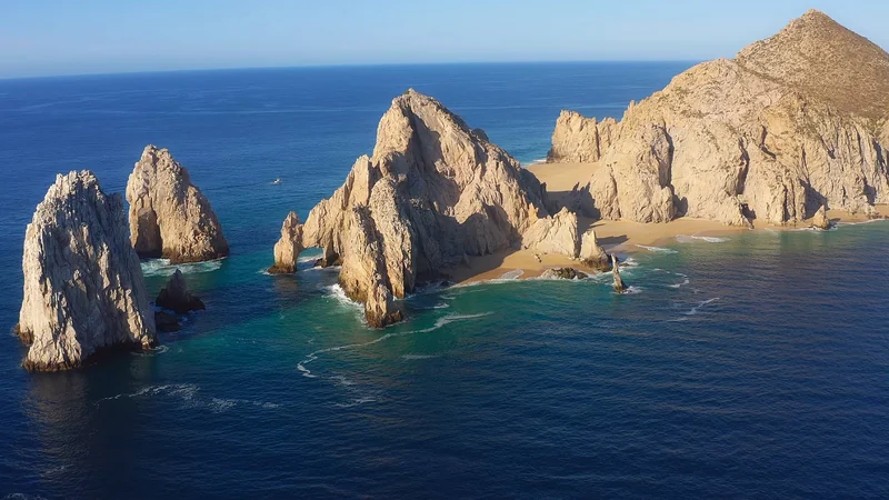
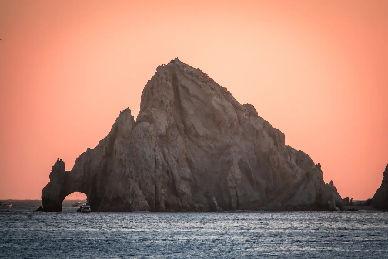
Did you know that the “end of the earth” has a spectacular beginning? It is called the Arch of Cabo San Lucas, and it is the heart of our destination.
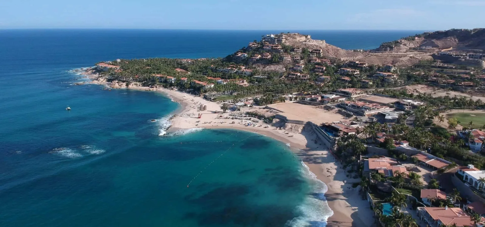
Known locally as El Arco, this natural granite arch stands at Land’s End, on the southern tip of the Baja California Peninsula. Here, at the mouth of the Gulf of California, the Pacific and the Sea of Cortez shape an extraordinary coastal landscape. Imagine the contrast: a vibrant desert meeting turquoise water, with a world of marine life beneath the surface.
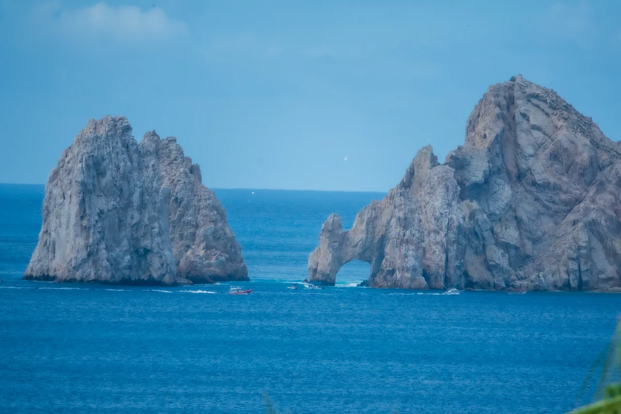
Land’s End evokes Finisterra, “the end of the land.” Its imposing granite formations, patiently shaped by wind and waves over time, frame one of Cabo’s most recognizable views. From the water, the rock takes on a different character with every angle and change of light. It is a photograph travelers dream of taking, but also a place worth pausing to experience. [1]
More than a beautiful view.
These waters also hold stories of distant voyages and seafaring ambition. Cabo San Lucas lay near the route of the Manila galleons, whose valuable cargo attracted privateers. In 1587, Thomas Cavendish captured the Santa Ana near Cabo San Lucas: a documented episode that gives the region’s maritime past a vivid human face. [2]
Legends of pirates and hidden treasure add another layer of fascination. They belong to the area’s storytelling, rather than proof of riches hidden beneath the Arch. The sea keeps plenty of mysteries of its own.
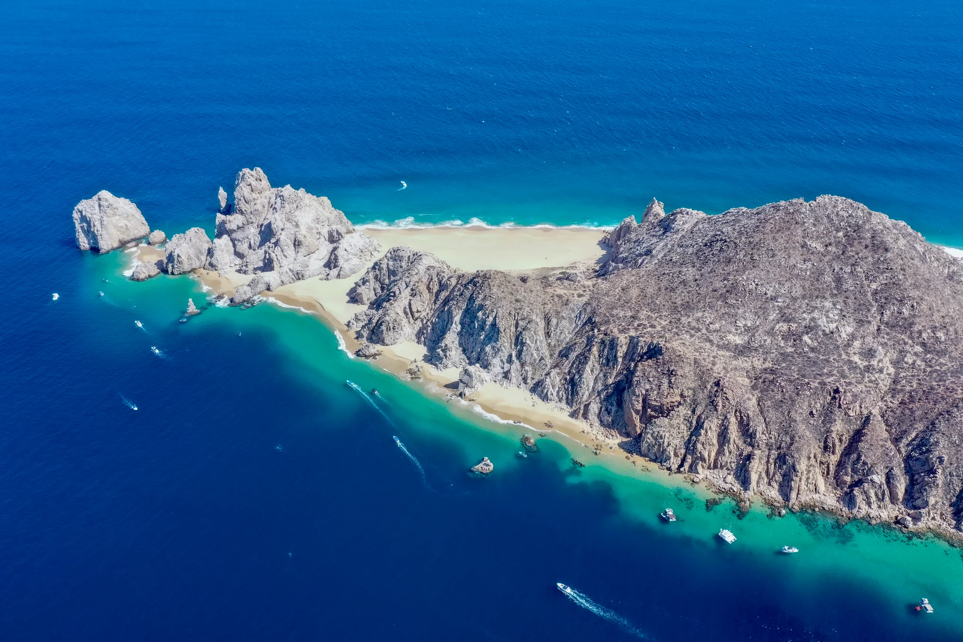
What is certain is that this meeting of desert, rock and sea can mark the beginning of an extraordinary adventure. Let the landscape draw you in, then look a little closer. There is more here than a postcard.
A little planning, a better visit.
Boat tours and water taxis from the Cabo San Lucas Marina offer views of the Arch from the water. Ask where you board, how long you will be out and whether any beach landing is included; weather and sea conditions can change the plan. [1]
Admire the formation from the water and follow your crew’s instructions. Do not walk beneath the Arch, even if sand is exposed: local authorities prohibit access because of waves and unpredictable currents. [3]
Planning a beach stop near the Arch? Our Lovers Beach (Playa del Amor) guide covers water access, what to bring and swimming precautions. Confirm any landing and return pickup with your operator; conditions can change.
Continue with our Cabo sunset cruise guide or plan your arrival with the Los Cabos transportation guide. To explore more landscapes and their stories, return to Adrián’s production archive.

Laura Valdemoros
Born in Argentina and based in Los Cabos, Laura is a bilingual content writer specializing in tourism, nature, gastronomy, lifestyle, luxury travel, culture and alternative education.
Read Laura’s full biography
She creates blogs, newsletters, articles, documentary scripts, advertising copy and subtitles in Spanish and English, combining research, creativity and clear communication.
With a university-level technical qualification in Tourism and postgraduate training in Environmental Management and Sustainable Development, she brings a broad perspective to every project. Her experience in museums, visitor services and educational guidance for homeschooling and unschooling helps her understand different audiences and turn complex ideas into approachable, engaging content.
Proactive and committed to every project she undertakes, Laura currently develops editorial and audiovisual projects, collaborates with nature-focused organizations and is working on a book about education outside the traditional school system.
Sources and photography
Story by Laura Valdemoros, with factual editing by What’s in Cabo. Sources checked October 29, 2026. Laura’s biography was provided by the contributor.
- Los Cabos Tourism Board · The Arch, landscape and water access
- Los Cabos Municipal Tourism · Cabo San Lucas maritime history
- ZOFEMAT Los Cabos · Do not walk beneath the Arch
- Mexican Geological Survey · Cabo San Lucas geological map
Story photographs © Adrián De Antoni, from his What’s in Cabo production archive. Guide cards use images from the linked What’s in Cabo guides.