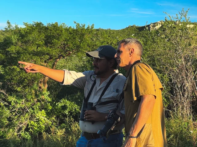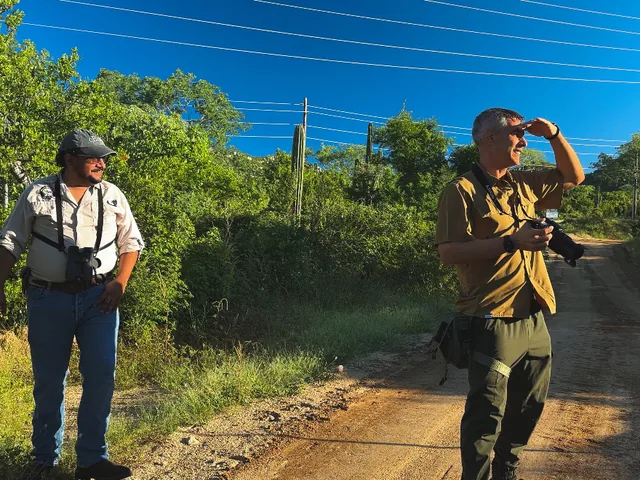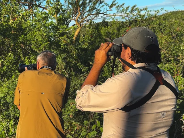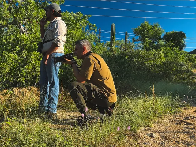
Production · Adrián De Antoni’s photos of Los Cabos

Adrián De Antoni · Los Cabos

Tap a photo: the map opens the spot where Adrián took it

Archive map

Sections of Los Cabos

Tap a section on the map or use the arrows: you'll see four selected photos from that area and its illustrated close-up, where each camera marks the spot where a photo was taken.

Cabo San Lucas

The end of the peninsula: El Arco, Land's End and the marina, where the Pacific meets the Sea of Cortez.

Illustrated map of La PazIllustrated map of Todos SantosIllustrated map of the East CapeIllustrated map of San José del CaboIllustrated map of Cabo San Lucas 110°48′W110°36′W110°24′W110°12′W110°00′W109°48′W109°36′WSea of CortezBahía de los SueñosPlaya El CaimancitoPlaya El CoromuelPlaya El SaltitoPlaya El TesoroEnsenada GrandeLa Paz Airport (LAP)Highest point in view ≈ 1,240 mLa Paz MalecónLos Islotes sea lions (approx.)Whale shark area in the bay (approx.)La Ventana · kitesurfLA PAZMalecónBalandraEl TecoloteLos IslotesWhale sharksKiteLA VENTANAEL CENTENARIO1,240 mPlaya El CoromuelPlaya El SaltitoPlaya El TesoroIsla Espíritu SantoIsla CerralvoLAPBalandraEl TecolotePlaya El TesoroPlaya El SonorenseEspíritu Santo244410 km110°30′W110°24′W110°18′W110°12′W110°06′W110°00′W109°54′W109°48′W109°42′WPacific OceanTROPIC OF CANCERWhalesWhale watching in seasonPlaya El PescaderoPlaya La CachoraPlaya La PozaHighest point in view ≈ 1,970 mNuestra Señora del Pilar MissionPunta Lobos · fishermen's pangasPlaya Los Cerritos · surfPlaya La Pastora · surfPlaya San PedritoSea turtle camp (approx.)TODOS SANTOSTodos Santos MissionPunta LobosLos CerritosLa PastoraPlaya Las PalmasSan PedritoSea turtlesEL PESCADERO1,970 mPlaya Las Palmas410 km110°00′W109°48′W109°36′W109°24′W109°12′WSea of CortezWhalesWhale watching in seasonPlaya AnónimaPunta ColoradaHighest point in view ≈ 2,070 mCabo Pulmo coral reefBahía de Palmas · kite & windsurfCascada Sol de MayoPunta PescaderoPlaya Los FrailesKite & windsurfCascada Sol de MayoPunta PescaderoLos FrailesLOS BARRILESLA RIBERACABO PULMOMIRAFLORES2,070 mPunta ColoradaSantiago oasisSierra & El RefugioMiraflores oasisCabo PulmoLos BarrilesSan Lucas Robin444410 km109°51′W109°48′W109°45′W109°42′W109°39′W109°36′W109°33′WSea of CortezPlaya AcapulquitoPlaya del EsteroPlaya Buenos AiresPlaya HoteleraPlaya La ConchaPlaya La LagunaPlaya La PlayitaZippersHighest point in view ≈ 1,030 mSan José del Cabo Mission · Plaza MijaresGallery District · Thursday Art Walk (approx.)Marina Puerto Los CabosPlaya Costa Azul · surfPlaya PalmillaGolf courseGolf courseGolf courseSan José MissionGallery DistrictCosta AzulPlaya Palmilla1,030 mPlaya La LagunaZippersPlaza MijaresSan José Estuary32 km110°00′W109°57′W109°54′W109°51′W109°48′W109°45′WPacific OceanSea of CortezWhalesWhale watching in seasonPlayas de la EmpacadoraPlaya del DivorcioPlaya PedregalPlaya el SuspiroPlaya Las ViudasPlaya SolmarHighest point in view ≈ 430 mEl Arco · Land's EndSea lion colony next to El Arco (approx.)Faro Viejo, the old Cabo Falso lighthousePlaya El MédanoPlaya del AmorBahía Santa María · snorkelingPlaya ChilenoPlaya Monumentos · surfGolf courseGolf courseGolf course (approx.)Golf courseGolf course (approx.)Golf course (approx.)CABO SAN LUCASEl ArcoFaro ViejoMarinaPlaya El MédanoBahía Santa MaríaPlaya ChilenoMonumentos430 mPlaya el SuspiroEl Arco & Land's EndCity at nightMarinaASUPMATOMA352 km
Close-up ·
Tap a camera to see its photo larger
PacificOcean Sea ofCortez TROPIC OF CANCER Sierra de la Laguna La Paz 24 PHOTOS Todos Santos 7 PHOTOS East Cape 43 PHOTOS San Josédel Cabo 4 PHOTOS CaboSan Lucas 11 PHOTOS LA PAZ BALANDRA ISLA ESPÍRITU SANTO LA VENTANA TODOS SANTOS EL PESCADERO LOS BARRILES SANTIAGO CABO PULMO SAN JOSÉ DEL CABO TOURIST CORRIDOR CABO SAN LUCAS EL ARCO LAP Airport SJD Airport 20 km N

On the close-up map

    Adrián's archive

    All photos

    Explore Los Cabos through Adrián’s photographs, places and stories.

    1. ExploreSearch by place or browse the map.
    2. Look closerOpen a photograph to explore the view.
    3. ReadDiscover the stories connected to the photographs.

    99 photos

    El Arco and Land's End from the air

    El Arco · Land's End

    Cabo San LucasADA-CSL-01

    Cabo San Lucas at dusk

    City and Transpeninsular Highway

    Cabo San LucasADA-CSL-03

    Land's End, Lover's Beach and Divorce Beach from the air

    Land's End · Playa del Amor

    Cabo San LucasADA-CSL-07

    El Arco, Land's End and the bay of Cabo San Lucas

    El Arco · Cabo San Lucas Bay

    Cabo San LucasADA-CSL-08

    Cabo San Lucas marina shortly before sunset

    Marina

    Cabo San LucasADA-CSL-09

    Cruise ships off Land's End at sunset

    View from the Tourist Corridor

    Cabo San LucasADA-CSL-10

    Olive ridley hatchlings heading for the sea at sunset

    El Suspiro · ASUPMATOMA turtle camp

    Cabo San LucasADA-CSL-11

    An olive ridley sea turtle on the nesting beach

    El Suspiro · ASUPMATOMA turtle camp

    Cabo San LucasADA-CSL-12

    Sea turtle eggs in a nest chamber

    El Suspiro · ASUPMATOMA turtle camp

    Cabo San LucasADA-CSL-13

    An olive ridley hatchling breaking out of its egg

    El Suspiro · ASUPMATOMA turtle camp

    Cabo San LucasADA-CSL-14

    An olive ridley hatchling crawling across the sand

    El Suspiro · ASUPMATOMA turtle camp

    Cabo San LucasADA-CSL-15

    Plaza Mijares and the mission from the air

    Historic downtown

    San José del CaboADA-SJD-01

    The San José estuary, the town and the sierra

    San José Estuary

    San José del CaboADA-SJD-04

    Palm islands in the San José estuary

    San José Estuary

    San José del CaboADA-SJD-05

    Where the San José estuary meets the beach

    San José Estuary

    San José del CaboADA-SJD-06

    The Santiago oasis from the air

    Santiago

    East CapeADA-EC-01

    Green pool in a granite canyon

    Sierra de la Laguna

    East CapeADA-EC-02

    Stars over the El Refugio camp

    Rancho Ecológico El Refugio

    East CapeADA-EC-03

    Palm canyon with a stream

    Sierra de la Laguna

    East CapeADA-EC-04

    Sandy arroyo and palm at El Refugio

    Rancho Ecológico El Refugio

    East CapeADA-EC-05

    Clear water between white granite

    Rancho Ecológico El Refugio

    East CapeADA-EC-06

    Granite pools in a sierra stream

    Sierra de la Laguna

    East CapeADA-EC-07

    Sunrise over the sierra ridges

    Sierra de la Laguna

    East CapeADA-EC-08

    Sun over a sierra valley

    Sierra de la Laguna

    East CapeADA-EC-09

    Sunrise through the palms at the Miraflores oasis

    Miraflores

    East CapeADA-EC-10

    Yellow striped reef fish schooling

    Cabo Pulmo National Park

    East CapeADA-EC-11

    Mottled ray over the rocky reef

    Cabo Pulmo National Park

    East CapeADA-EC-12

    Translucent jellyfish in open water

    Cabo Pulmo National Park

    East CapeADA-EC-13

    Octopus on the sandy bottom

    Cabo Pulmo National Park

    East CapeADA-EC-14

    Moray eel in a rock crevice

    Cabo Pulmo National Park

    East CapeADA-EC-15

    Dense school of jacks against the light

    Cabo Pulmo National Park

    East CapeADA-EC-16

    Groupers gathered beside a boulder

    Cabo Pulmo National Park

    East CapeADA-EC-17

    Groupers over the rocky reef

    Cabo Pulmo National Park

    East CapeADA-EC-18

    Shark passing close to the camera

    Cabo Pulmo National Park

    East CapeADA-EC-19

    Two sharks above the sandy bottom

    Cabo Pulmo National Park

    East CapeADA-EC-20

    Spotted grouper leading a large group

    Cabo Pulmo National Park

    East CapeADA-EC-21

    Sea lion looking at the camera

    Cabo Pulmo National Park

    East CapeADA-EC-22

    Sea lion face to face under the surface

    Cabo Pulmo National Park

    East CapeADA-EC-23

    Young sea lion gliding underwater

    Cabo Pulmo National Park

    East CapeADA-EC-24

    Sea lion silhouette seen from below

    Cabo Pulmo National Park

    East CapeADA-EC-25

    Sea lion upside down in a rocky channel

    Cabo Pulmo National Park

    East CapeADA-EC-26

    Sea lion diving through a school of fish

    Cabo Pulmo National Park

    East CapeADA-EC-27

    Los Barriles beach with fishing boats at anchor

    Los Barriles

    East CapeADA-EC-28

    Homes and a dirt road above the Los Barriles beach

    Los Barriles

    East CapeADA-EC-29

    Turquoise shallows along the Los Barriles shore

    Los Barriles

    East CapeADA-EC-30

    Beachfront resorts of Los Barriles with the sierra behind

    Los Barriles

    East CapeADA-EC-31

    The long beach of Bahía de Palmas at Los Barriles

    Los Barriles

    East CapeADA-EC-32

    A desert hill where the Los Barriles beach curves

    Los Barriles

    East CapeADA-EC-33

    The Sea of Cortez off Los Barriles, with the coast and mountains beyond

    Los Barriles

    East CapeADA-EC-34

    Homes among palms on the hillside above Los Barriles

    Los Barriles

    East CapeADA-EC-35

    A beachfront hotel and palapa on the Los Barriles sand

    Los Barriles

    East CapeADA-EC-36

    Hotels and a small pier on the Los Barriles beachfront

    Los Barriles

    East CapeADA-EC-37

    Sports courts and homes behind the Los Barriles beach

    Los Barriles

    East CapeADA-EC-38

    Los Barriles from the air, with the sierra behind

    Los Barriles

    East CapeADA-EC-39

    A San Lucas Robin on a sierra branch

    Arroyo de Las Choyas · San Antonio de la Sierra

    East CapeADA-EC-40

    A San Lucas Robin perched against the blue sky

    Arroyo de Las Choyas · San Antonio de la Sierra

    East CapeADA-EC-41

    A San Lucas Robin on a lichen-covered pine

    Arroyo de Las Choyas · San Antonio de la Sierra

    East CapeADA-EC-42

    A San Lucas Robin among bare branches

    Arroyo de Las Choyas · San Antonio de la Sierra

    East CapeADA-EC-43

    Sun over La Paz Bay

    Playa El Tesoro · La Paz Bay

    La PazADA-LP-01

    Balandra lagoon and its mangrove bar at dusk

    Playa Balandra

    La PazADA-LP-02

    El Tecolote beach and its palapa restaurants

    Playa El Tecolote

    La PazADA-LP-03

    Sunset through the clouds at El Tecolote beach

    Playa El Tecolote

    La PazADA-LP-04

    Playa El Tesoro cove from directly above

    Playa El Tesoro

    La PazADA-LP-05

    Sailboats at anchor off Playa El Tesoro

    Playa El Tesoro

    La PazADA-LP-06

    Sheltered bay and anchorage beside Playa El Tesoro

    Playa El Tesoro

    La PazADA-LP-07

    Playa El Tesoro shallows and deep water

    Playa El Tesoro

    La PazADA-LP-08

    Playa El Tesoro beach and palapas

    Playa El Tesoro

    La PazADA-LP-09

    Peninsula beside Playa El Tesoro and the Bay of La Paz

    Playa El Tesoro

    La PazADA-LP-10

    Late-afternoon sun over Playa El Tesoro

    Playa El Tesoro

    La PazADA-LP-11

    Playa El Tesoro in warm afternoon light

    Playa El Tesoro

    La PazADA-LP-12

    Golden hour on the coast by Playa El Tesoro

    Playa El Tesoro

    La PazADA-LP-13

    Clear shallows and palapa at Playa El Sonorense

    Playa El Sonorense

    La PazADA-LP-14

    Shallow turquoise water at Playa El Sonorense

    Playa El Sonorense

    La PazADA-LP-15

    Mangrove lagoon behind Playa El Sonorense

    Playa El Sonorense

    La PazADA-LP-16

    Mangrove and tidal flats near Playa El Sonorense

    Playa El Sonorense

    La PazADA-LP-17

    Playa El Sonorense from above

    Playa El Sonorense

    La PazADA-LP-18

    Mangrove and coastal highway by Playa El Sonorense

    Playa El Sonorense

    La PazADA-LP-19

    Playa El Sonorense and the highway curve

    Playa El Sonorense

    La PazADA-LP-20

    Turquoise bay and rocky islet

    Isla Espíritu Santo

    La PazADA-LP-21

    Yacht at anchor in a turquoise bay

    Isla Espíritu Santo

    La PazADA-LP-22

    Red volcanic cliffs over turquoise water

    Isla Espíritu Santo

    La PazADA-LP-23

    White sand beach and red hillside

    Isla Espíritu Santo

    La PazADA-LP-24

    Rocky headland and palm oasis beach

    Playa Las Palmas

    Todos SantosADA-TS-01

    Palm oasis and Pacific beach

    Playa Las Palmas

    Todos SantosADA-TS-02

    Beach, palm oasis and sierra

    Playa Las Palmas

    Todos SantosADA-TS-03

    Desert headland and Pacific cliffs

    Playa Las Palmas

    Todos SantosADA-TS-04

    Headland, small beach and palm grove

    Playa Las Palmas

    Todos SantosADA-TS-05

    Backlit headland on the Pacific

    Playa Las Palmas

    Todos SantosADA-TS-06

    Where the desert meets the sea

    Playa Las Palmas

    Todos SantosADA-TS-07

    Humpback whale and her calf from the air

    Baja California Sur

    Baja SurADA-XX-01

    Fan palms and cardón against the light

    Baja California Sur

    Baja SurADA-XX-02

    Striped reef fish and an orange fish

    Baja California Sur

    Baja SurADA-XX-03

    Pufferfish over dark sand

    Baja California Sur

    Baja SurADA-XX-04

    Sea star and striped reef fish

    Baja California Sur

    Baja SurADA-XX-05

    Cormorant swimming underwater

    Baja California Sur

    Baja SurADA-XX-06

    Yellowtail surgeonfish over the reef

    Baja California Sur

    Baja SurADA-XX-07

    Yellow-tailed striped fish from behind

    Baja California Sur

    Baja SurADA-XX-08

    Yellowtail surgeonfish over sand

    Baja California Sur

    Baja SurADA-XX-09

    Dense school of striped fish

    Baja California Sur

    Baja SurADA-XX-10

    Code
    Format
    Credit
    Photo: Adrián De Antoni

    Work with Adrián

    What would you like to create?

    Adrián handles his productions directly; What's in Cabo only puts you in touch. Copy the message and send it through the channel you prefer: @adriandeantoni.