
Location
Location
Playa Km 87, Highway 19 between El Pescadero and Migriño, Baja California Sur
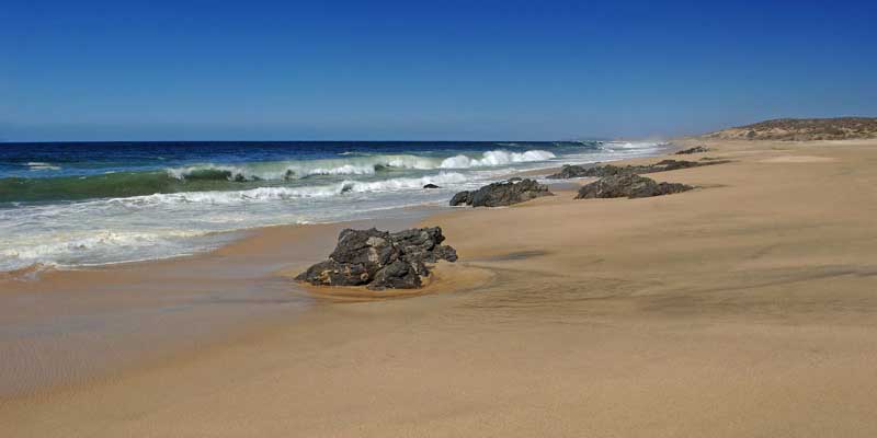
Playa Km 87 is local shorthand for an open Pacific beach reached from Highway 19 around kilometre 87, on the lonely coast between El Pescadero and Migriño. It has no formal name: a 2007 local directory described the turn-off near a Rancho San Rafael sign and an 80 km/h speed sign, then half a mile of very rough dirt road to a bluff with a footpath down to the sand, and little has been written about it since.
What is well documented is the coast around it. Between Migriño and Todos Santos the shoreline is a very narrow strip reachable only by dirt tracks, and the sea is open with strong swell even in the calmest seasons; the Los Cabos tourism board warns that stretches like this are unsuitable for swimming because of rough surf, rip currents and undertows. This is a beach for walking, tranquility and privacy, not for the water. Behind it lie two tiny ranch localities, El Cajoncito and San Blas del Cajoncito, with a single inhabitant between them.
The nearest beach the La Paz tourism office lists is Playa El Gaspareño at km 83, about 3 km north: soft warm sand, a striking rock formation pounded by waves, dunes you may not climb, a small hill used as a natural lookout, camping and picnics, no services and no mobile signal, with whales sometimes seen breaching offshore. Whale season on this coast runs December to April. Las Cabrillas at km 81 has a mechanic and a small restaurant, and Migriño, the lonely surf beach with a bird lagoon, lies to the south.
Sources: Cabo San Lucas Beaches (local directory, 2007) · Los Cabos Guide (local directory) · La Paz tourism office, El Gaspareño · México Desconocido · Visit Los Cabos, swimming and safety · INEGI localities · Visit Los Cabos, whale watching
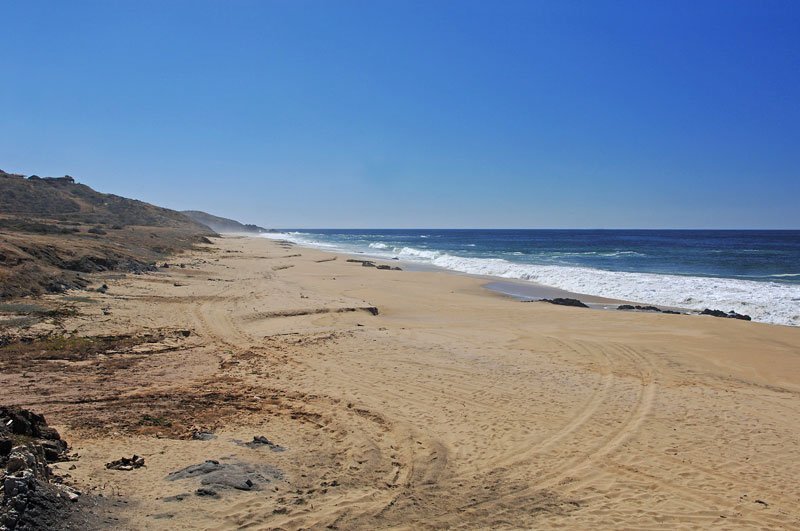
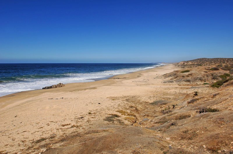
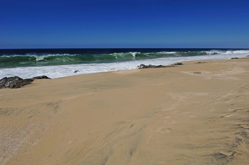
Not for swimming at any time. Open Pacific water with strong currents and shore break year-round. Beautiful to walk and to photograph — do not go in.
Editorial safety profile override · Open-Meteo public model data · Checked
Estimated from public data, not an official safety advisory. Always follow posted flags and lifeguard instructions.
The approved editorial safety profile permanently overrides model conditions for this beach.
Open-Meteo Marine: modeled wave height, period, and direction.
Open-Meteo Weather: modeled 10 m wind and gusts.
Recent nearby sightings suggest extra caution before entering the water.
No community reports have been submitted for this beach this month.
Nearby public observationsEstimated from public data, not an official safety advisory.
Sources: iNaturalist public observations and Open-Meteo Marine - refreshed 1 second ago
Playa Km 87, Highway 19 between El Pescadero and Migriño, Baja California Sur
Simple beach-day activities that fit the setting and conditions.
Not for swimming at any time. Open Pacific water with strong currents and shore break year-round. Beautiful to walk and to photograph — do not go in.
Editorial safety profile override · Open-Meteo public model data · Checked
Estimated from public data, not an official safety advisory. Always follow posted flags and lifeguard instructions.
The approved editorial safety profile permanently overrides model conditions for this beach.
Open-Meteo Marine: modeled wave height, period, and direction.
Open-Meteo Weather: modeled 10 m wind and gusts.
Recent nearby sightings suggest extra caution before entering the water.
No community reports have been submitted for this beach this month.
Nearby public observationsEstimated from public data, not an official safety advisory.
Sources: iNaturalist public observations and Open-Meteo Marine - refreshed 1 second ago
Quick read before you go. Conditions can change by day, so check local flags before entering the water.
Playa Km 87, Highway 19 between El Pescadero and Migriño, Baja California Sur

Add a review